Giro3D

Giro3D is an open-source JavaScript framework for visualizing and interacting with 2D, 2.5D and 3D data.

Giro3D

Giro3D logo

What is Giro3D ?

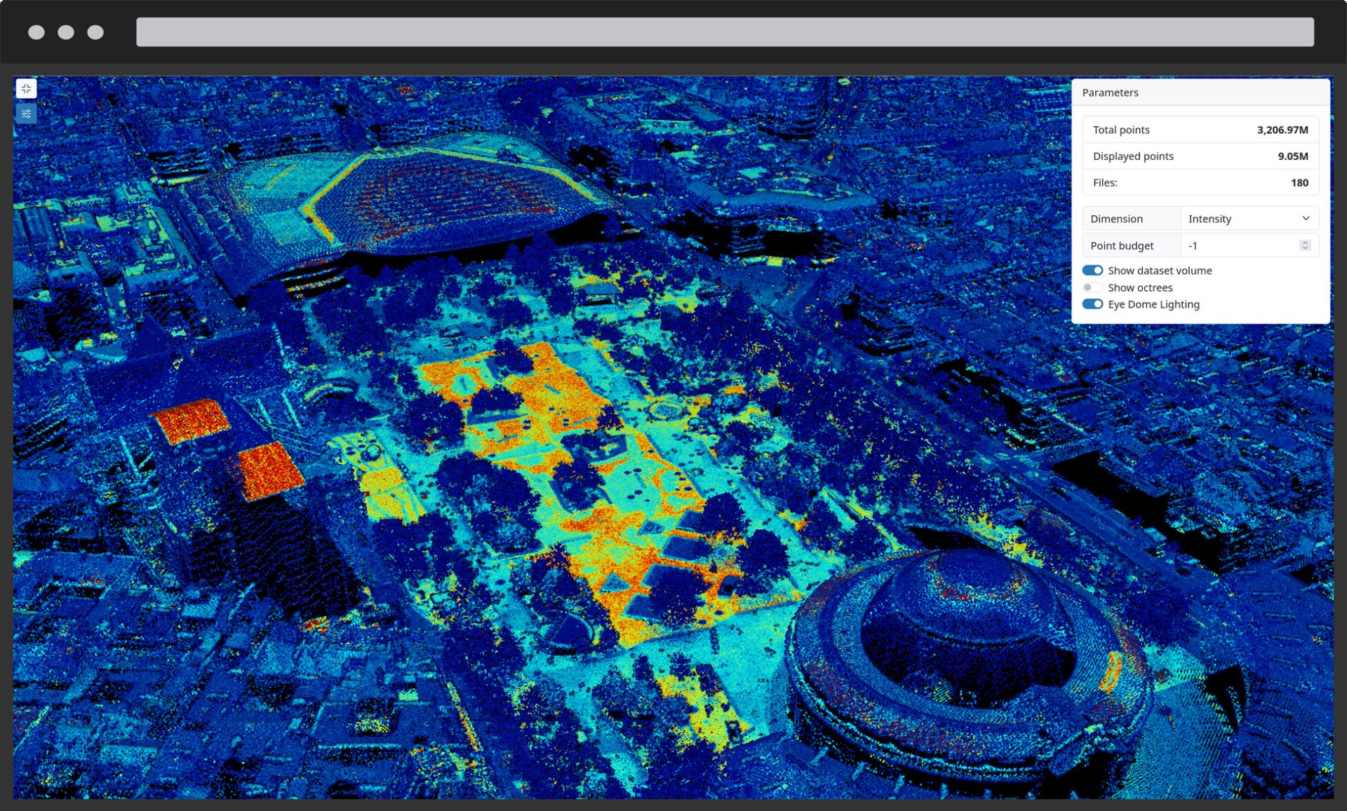
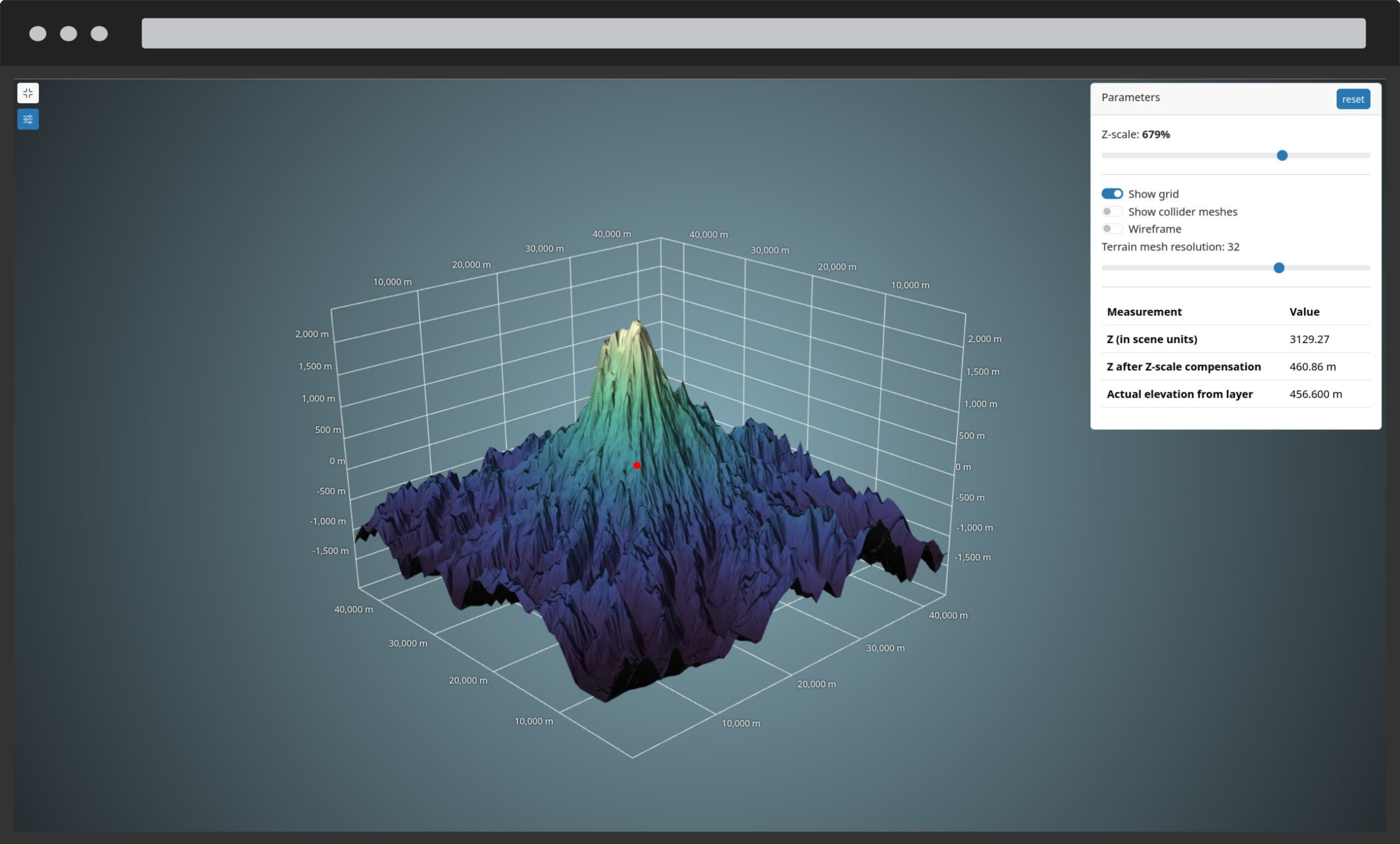
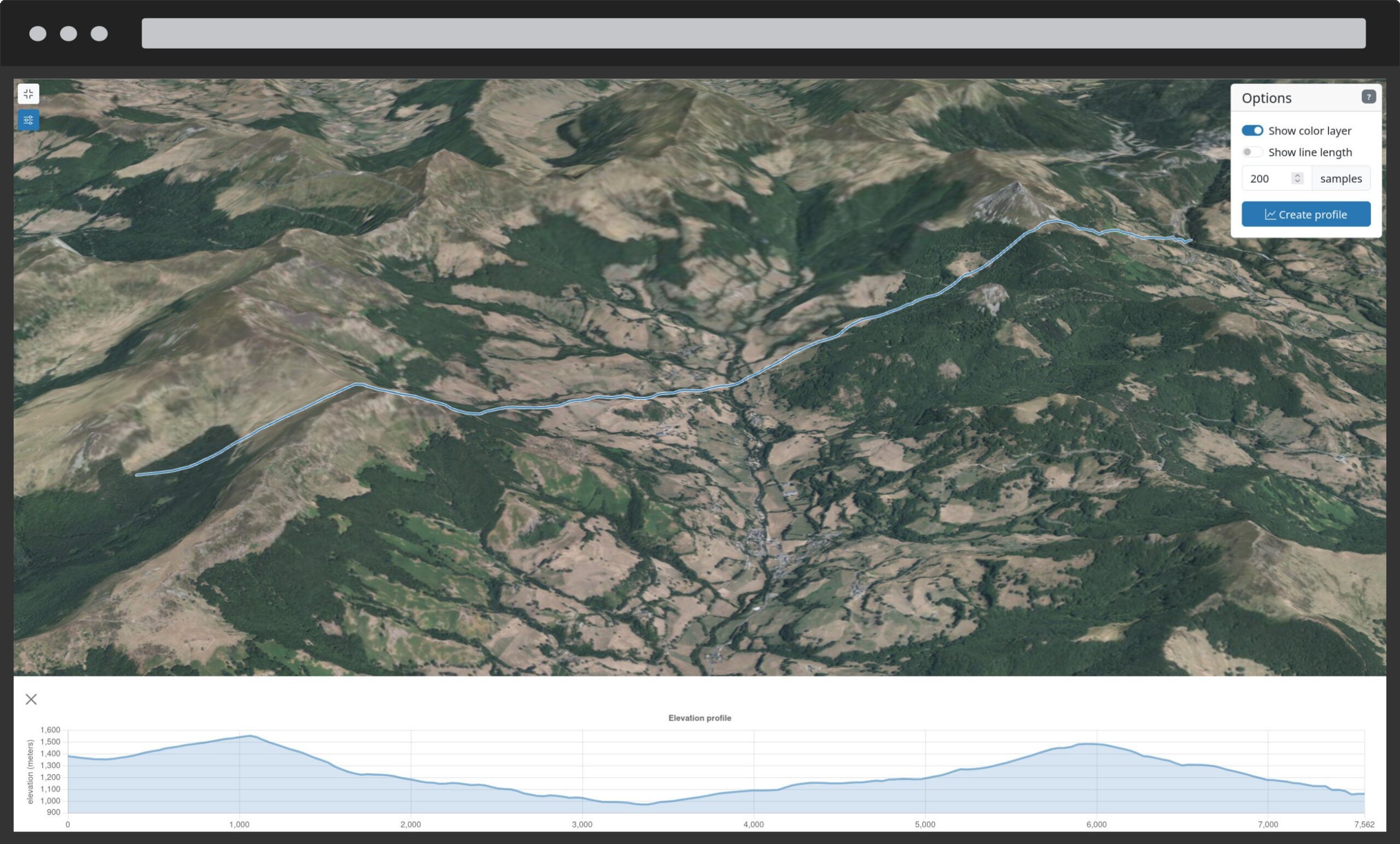
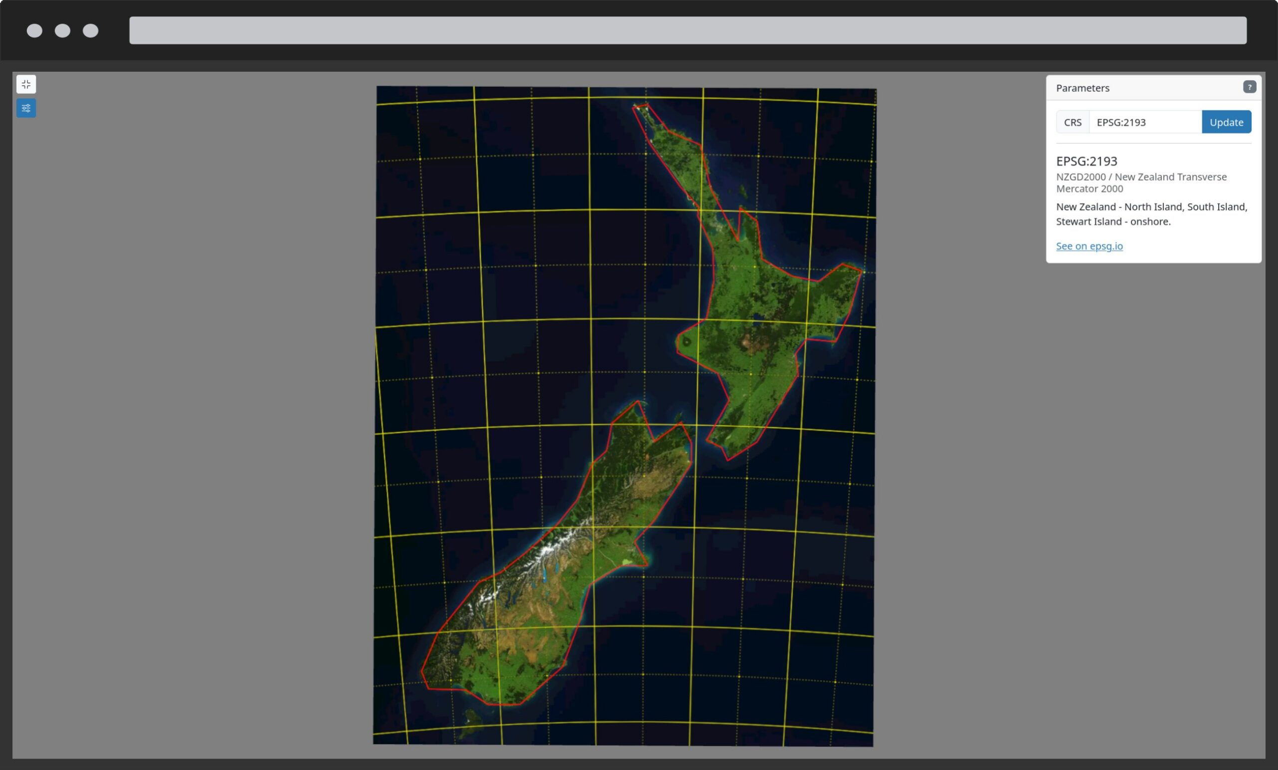
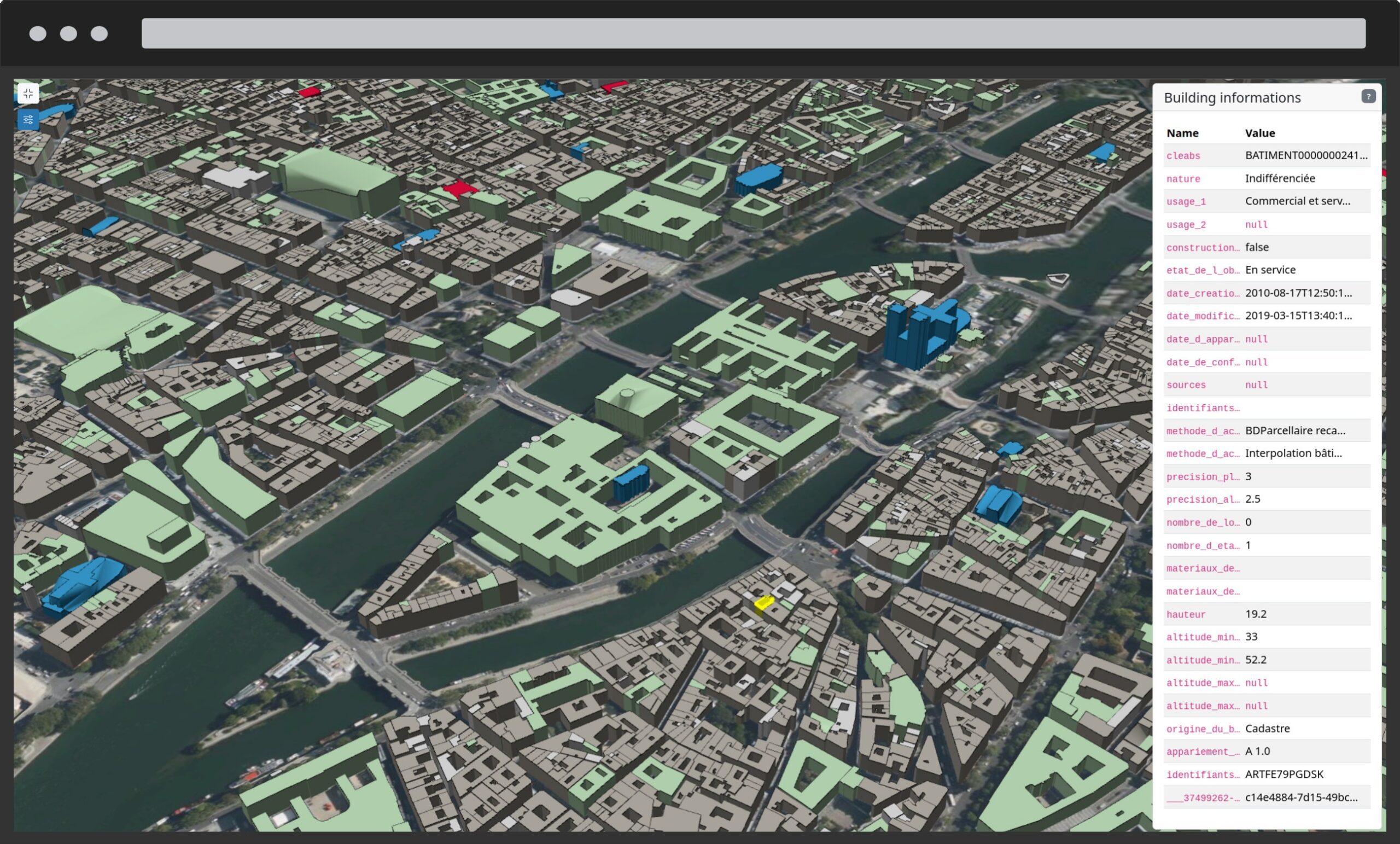
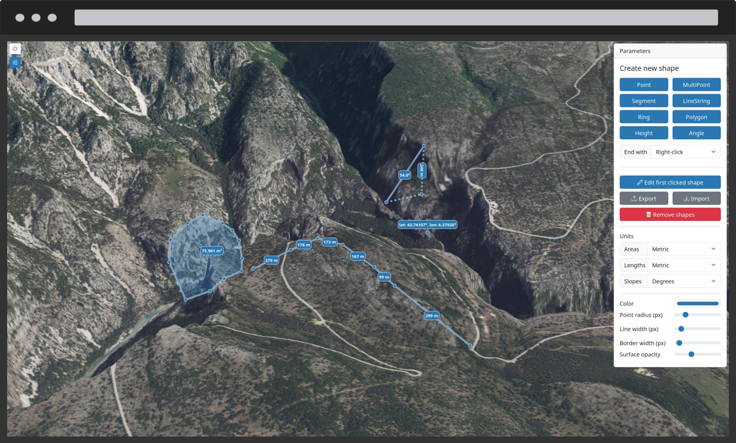
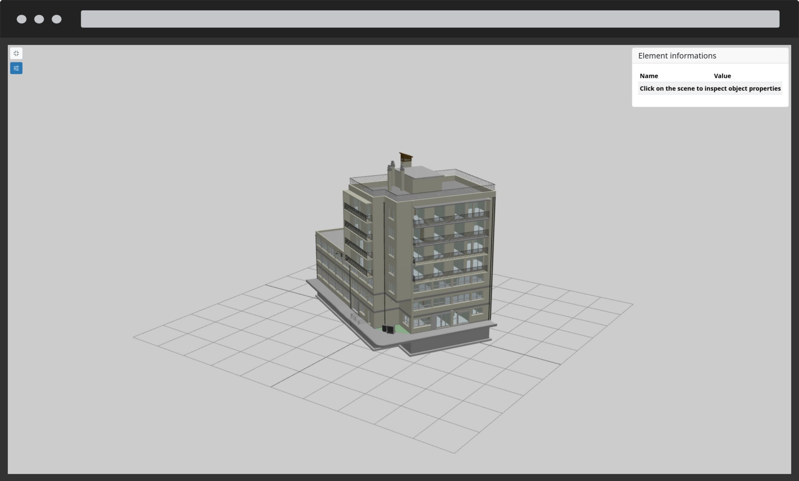
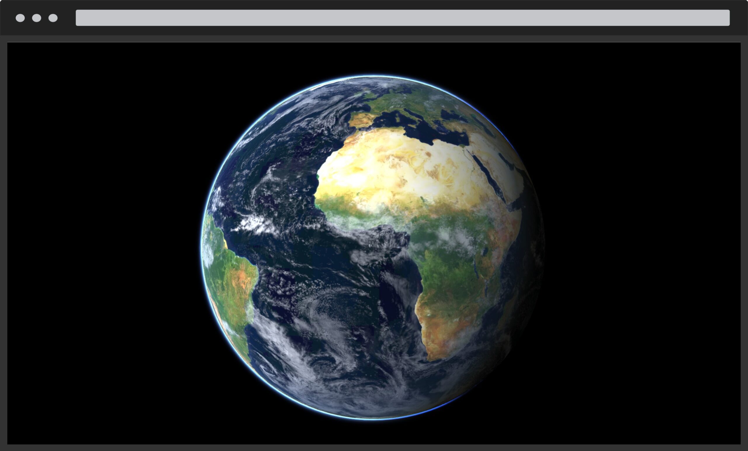
Giro3D is a 3D web viewing library, written in JavaScript and WebGL. Based on the three.js engine, it displays many open data formats (rasters, vectors, pointclouds, 3D models, etc.) and also offers many tools to build 3D geospatial applications for the Web.

State of the art and high quality

Giro3D implements multiple formats and techniques to achieve high rendering quality while maintaining good performance. It also aims at being a high-quality project, be it technically, but also on an organization level, having good processes for development, governance and documentation.

Designed for industrial use

Its modular and scalable approach allows for simplified integration into existing applications (including React and Vue.js)… Thanks to numerous interactive examples and comprehensive documentation, Giro3D is a quick handhold.

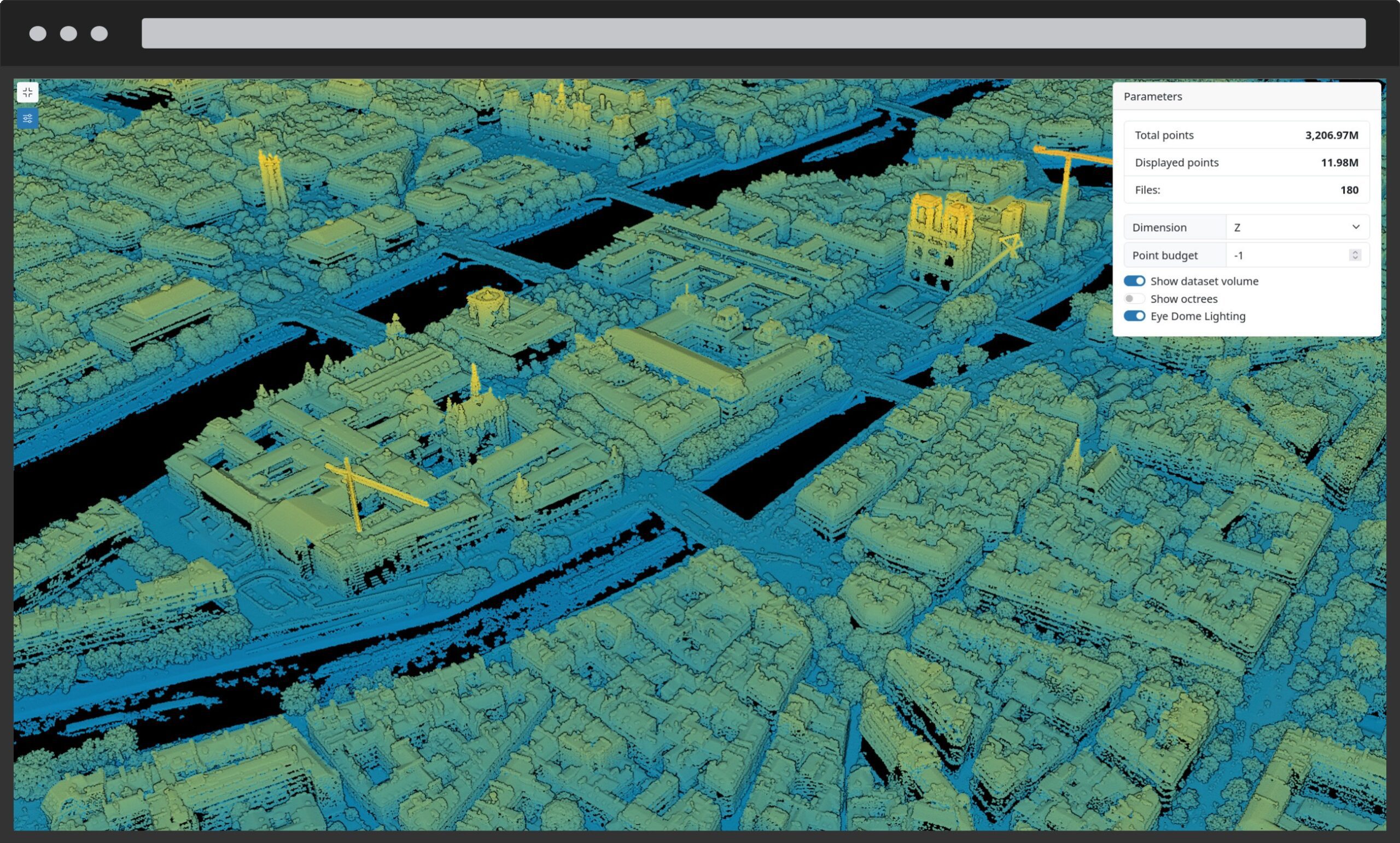
Performance is a major goal in Giro3D. The library is designed to display many massive datasets simultaneously.

A free and opensource project

Giro3D - point cloudsGiro3D promotes a community-based approach to development and encourages all contributions.

Giro3D’s added values

Giro3D provides :

  • a mature and sustained project organization, open to all contributors without barrier
  • projected maps as well as globe views
  • high performances
  • high-level code quality and good API documentation
  • large set of capabilities for diverse use cases
  • easy integration into applications
  • direct access to THREE.js rich ecosystem and capabilities


Core features

  • Geospatial data visualization

    • Projected mode or globe mode
    • Visualization of numerous geospatial 2D data types
    • Visualization of numerous geospatial 3D data types
    • Lightning & natural lights ( sun, atmosphere…)
    • Hillshading
    • Advanced visualization ( inpainting, EDL )
    • Contour lines
    • Clipping planes
    • Billboards
    • Color ramps for terrain and pointclouds
    • Masking
    • Blending modes for rasters
    • Color projection from raster to point clouds
    • 3D Grids
    • Access to Three.js renderer and full ecosystem
  • Geospatial processing

    • Support for multiple CRS
    • Raster layer reprojections
    • 3D buildings from 2D data
    • Vector styling with OpenLayers styles
    • High volumes with display/loading optimization ( e.g. billions of points )
    • Nodata management
    • Classification filtering
  • Tools & widgets

    • Measure ( distance, surface, angles, heights… )
    • Draw ( point, line, polygon…) + project drawing on DEM
    • Scene Inspector for developers
    • Elevation profile
    • Minimap
    • Data querying
  • Supported formats

    • Raster data ( WMS, WMTS, CoG, Mapbox Terrain RGB…)
    • Vector data ( WFS, GeoJSON, TopoJSON, GML, KML, GPX, Vector tiles…)
    • PointClouds ( COPC, LAS, LAZ, Potree, 3D Tiles )
    • 3D Tiles ( including Google Photorealistic 3D tiles)
    • Panoramic images
    • glTF models
    • All OpenLayers data sources
    • All 3D objects supported by Three.js
    • BIM ( Building Information Models )
    • Oriented images ( e.g. drone images )
    • Temporal WMS ( WMS-T )
  • Additional full application

    • Piero is a complimentary full application for easy Giro3D configuration
  • Libre software

    • Open and fair Governance
    • Open to any contribution
    • Nice documentation and examples
    • High quality for code and processes

Implemented Standards

  • Geographic JSON (GeoJSON)
  • Georeferenced Tagged Image File Format (GeoTIFF)
  • Keyhole Markup Language (KML)
  • Mapbox Vector Tile Specification

    (MVT)
  • (OGC API - Features)
  • (OGC API - Tiles)
  • OpenStreetMap (OSM)
  • SpatioTemporal Asset Catalogs (STAC)
  • Web Map Tile Service (TMS)
  • Web Feature Service (WFS)
  • Well-Known Text (WKT)
  • Web Map Service (WMS)
  • Web Map Service - Tile Caching (WMS-C)
  • Web Map Tile Service (WMTS)
Giro3D examples

Portfolio

Giro3D HD LIDAR
Giro3D grid / zscale
Giro3D elevation profile
Giro3D reprojection
Giro3D - Buildings
Giro3D - drawing tools
Giro3D - IFC / 3D tiles
Giro3D - globe
Giro3D - HD Lidar

Service Providers

Core contributors

View all service providers