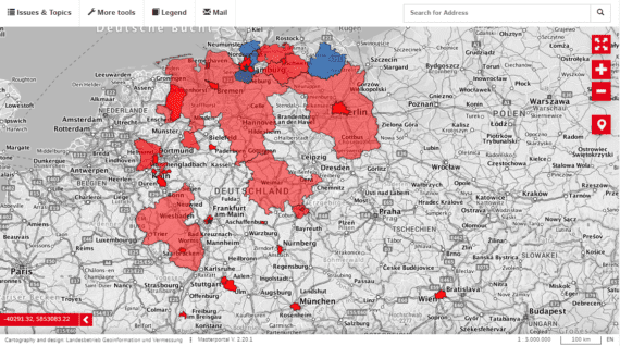
Masterportal

The Masterportal is developed in JavaScript, CSS and HTML and is based on several other robust OpenSource libraries such as OpenLayers, VueJS, Bootstrap 5 or ChartJS. It is published under MIT License and is thus available to be used in any context.
The Masterportal was originally designed by the city of Hamburg based on the needs of a smart municipality and is now being further developed by a large developer community.
Core features
-
Implemented Features
- Time Slider
- Routing via Open Route Service
- Draw and Measure
- Filter functionality
- Printing via Mapfish-Print
- Bufferanalysis
- Multilingual GUI using i18next
- Overviewmap
- Search via WFS, Gazeteer, OSM
- Elastic Search
- Much more
-
Additional interfaces
- VTC
- WMS-Time
- Sensor Things API
- Secured WMS
- WPS
- Elastic Search
Implemented Standards
- Catalogue Service for the Web (CSW)
- Geographic JSON (GeoJSON)
- Georeferenced Tagged Image File Format (GeoTIFF)
- Geography Markup Language (GML)
- Keyhole Markup Language (KML)
Mapbox Vector Tile Specification
(MVT)- Open Geospatial Consortium (OGC)
- OGC API family of OpenAPI standards (OGC API)
- (OGC API - Features)
- OpenStreetMap (OSM)
- Styled Layer Descriptor (SLD)
- Web Feature Service (WFS)
Web Feature Service - Gazetteer Service
(WFS-G)- Web Feature Service - Transactional (WFS-T)
- Web Map Service (WMS)
- Web Map Tile Service (WMTS)
- Web Processing Service (WPS)

