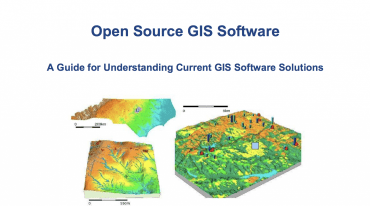
This document created for North Carolina Geographic Information and Coordinating Council by the GIS Technical Advisory Committee to summarize the functionality of commonly used open source GIS software packages and tools.
Open Source GIS Software – A Guide for Understanding Current GIS Software Solutions
North Carolina Geographic Information Coordinating Council GIS Technical Advisory Committee, December 2017


