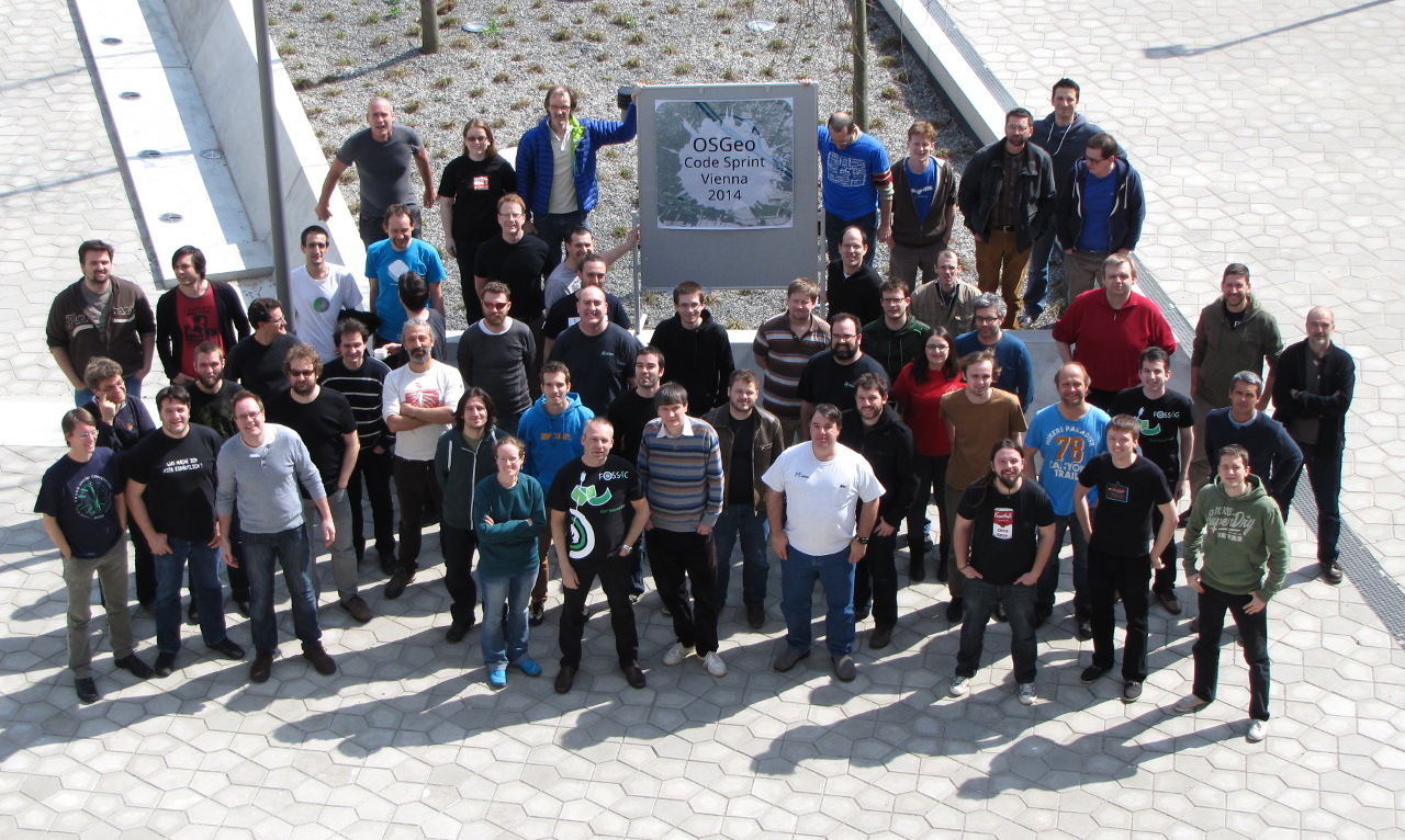
In the week from March 24 to 28 more than 60 developers from over 18
projects gathered for the OSGeo Code Sprint 2014 in the rooms generously
provided by the City of Vienna (MA 14). Improvements of and new features
for the individual projects were decided and implemented in direct
personal communication among the relevant developers. A very important
core element of free and open source software development is the active
exchange and the direct collaboration of the individual projects and
initiatives.
Vector tiles are one of the current hot topics among the whole
community that have been extensively discussed at the Code Sprint. A
specification draft has been prepared and will be discussed further.
The following paragraphs provide some highlights and achievements of
the various participating projects during the Code Sprint.
With 210 updates in the code base during the Code Sprint the
international GRASS GIS development
team has released the new version 7 after 6 years of development. The
free software package provides novel methods to process, analyze, and
visualize geographic data and runs on all major platforms (MS Windows,
Apple, Linux, BSD) and architectures (x86, amd64, arm) from laptops to
mainframes.
The QGIS project took care of bug
resolving, discussed future new features, updated and simplified the
management of plugins which can be generated and freely provided by
users. Together with the GRASS GIS project the integration of version 7
in QGIS has been prepared.
The MapServer team decided on the
release plan for the upcoming 7.0 release, worked on easier processes
for documentation translations, and resolved several smaller issues with
respect to coverty scans, dateline crossing data, pixel is point vs.
pixel is area, UTF-grid, etc.
A proposal was made or maybe better an experiment undertaken to
harmonize the data models of GDAL and OGR. Considerable work went
into scala bindings for GDAL.
The PostGIS team succeeded to close
all remaining tickets for the 2.1.2 and 2.0.5 releases and releasing
them. Very interesting work started on 3D exports using three.js.
OpenLayers 3 is a comprehensive
rewrite of a well established library for displaying and interacting
with geospatial data on the web. The new version is currently in
pre-release beta state. During the sprint, the documentation system was
improved to include documentation of the events that the library emits.
Work on feature clustering to unclutter a map with too many point
features was started, and a demo of displaying HiDPI (Retina) tiles from
the Austrian basemap was created. The
inter-project discussion about creating a common transport format for
vector tiles will benefit the project in the near future.
pycsw finished packaging for version
1.8 and worked on OSGeo project incubation.
In order to find and exploit synergies in functionality and
technology the projects EOxServer and
GeoNode started a closer collaboration
at the Code Sprint.
Various other projects have also been present and active at the Code
Sprint like PDAL, ZOO-Project, MapMint, etc.
A great result for the local community in Vienna and Austria is the
start of regular
OSGeo/FOSSGIS meetups.


