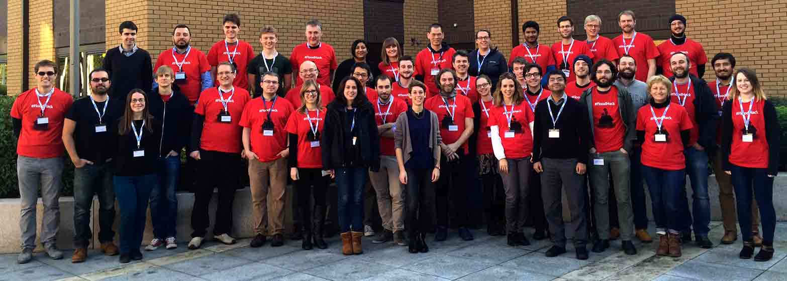
On 16/17 January, the European Centre for Medium-Range Weather Forecasts (ECMWF) organized the first hackathon on a Global Flood Awareness System (GloFAS). More than 60 participants from research organizations, universities and industries joined for improving accessibility and visualization of GloFAS data by creating new downstream applications.
Anticipation and preparedness of large-scale flood events play a key role in mitigating their impacts and optimizing the strategic planning of water resources. Although a lot of countries have well-established systems for river monitoring and early flood warning, an increasing number of inhabitants is affected by floods every year. The Global Flood Awareness System (GloFAS) has been set up providing an overview on upcoming floodings in large world river basins.
On 16/17 January ECMWF hosted a hackathon aimed at improving GloFAS by developing innovative ideas and approaches. More than 3.5 TB of data have been prepared, partly served in an OGC-compliant Web Coverage Service Standard (WCS) for easier data access and retrieval. In the EarthServer-2 project, this WCS service is currently set up at ECMWF and further institutions in Great Britain.
Five teams submitted their work, most of them based on the Big Datacube server rasdaman running at ECMWF which offers 5-dimensional river discharge data, among others:
- FloodIT: Providing more intuitive information based on GLOFAS which helps forecasting local floodings and pre-empting a catastrophe.
- GloFAQ – Global Flood Awareness Queries: Innovative ways of providing end users with key information on potentially impacted infrastructures due to flooding.
- Interception: A flood awareness education platform which helps informing people about alternative courses of action when a flood watch/warning alert is issued.
- LIVE – Logistic and Infrastructure Visual Evaluation: Using GloFAS forecast information to create a ‘time to respond’ map.
- The (flooded) Italian Job: An automatised modification of fixed GloFAS thresholds for warnings.
The winning team, LIVE, used GloFAS information creating a “time to respond map” that helps prioritizing decision making before or during a flood event. The second prize went to FloodIT, the third winner was Interception.
The GloFAS system is currently used by the International Red Cross in a pilot project in Daares-Salaam, Tanzania for finance forecasting which enables Red Cross to spot early on where flood disaster support is required. The FloodHack price money – in total 1.050 GBP – was donated to this project.
Read more at http://floodhack.devpost.com/